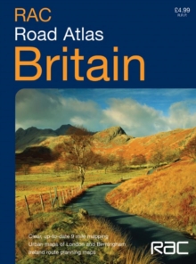
Image for RAC Compact Britain Road Atlas

RAC Compact Britain Road Atlas

See all formats and editions

1:550,000 9 miles to 1 inch. The compact A5 format of this atlas makes it the ideal travelling companion.

It has clear, route planning mapping and fits neatly into the glovebox, pocket or bag.

MAIN FEATURES This handy A5 road atlas is ideal for the bag or glovebox, it features fully up-to-date road mapping at 9 miles to 1 inch -- ideal for route planning.

In addition to this Ireland is mapped at 16 miles to 1 inch and there are larger scale urban area maps of London and Birmingham.

INCLUDES; Full index to place names; Attractive layer colouring; Roads colour classified; Places of tourist interest shown; Distances between destinations markedAREA OF COVERAGE Covers the whole of Britain at 9 miles to 1 inch and Ireland at 16 miles to 1 inchWHO THE PRODUCT IS OF INTEREST TO Ideal general purpose route planner in a handy format.

Fits easily in the glovebox, briefcase, handbag or pocket, with popular lie-flat spiral binding.

Read More
Title Unavailable: Out of Print
Product Details
Collins
0007182066 / 9780007182060
Spiral bound
912.41
05/07/2004
England
English
80 p.
21 cm
general Learn More