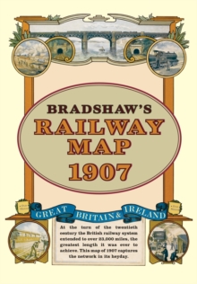
Image for Bradshaw's Railway Folded Map 1907

Bradshaw's Railway Folded Map 1907

See all formats and editions

At the turn of the 20th century the rail network extended to over 23,000 miles, very nearly the circumference of the world the greatest length it was ever to achieve.

Some urban routes had closed and later, hundreds of rural lines and stations succumbed to the Beeching axe.

This map shows the network in its heyday before the decline commenced.

Read More
Available
£7.99 Save 20.00%
RRP £9.99
Add Line Customisation
4 in stock Need More ?
Add to List
Product Details
Old House Books
190840213X / 9781908402134
Sheet map
21/11/2011
United Kingdom
624 x 980 mm, 119 grams