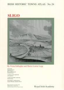
Image for Sligo

Sligo : Irish Historic Towns Atlas, no. 24

Part of the Irish Historic Towns Atlas series
See all formats and editions

Number 24 in the Irish Historic Towns Atlas series, Sligo depicts the urban development of this strategically situated north-western town with over 1400 sites are documented.

The atlas traces growth from the Gaelic settlement to the medieval town that developed around Sligo Castle, to its early modern military presence through to the twentieth century.

Sligo includes 21 maps and views as well as thematic maps that are dotted through the essay and topographical gazetteer.

Presented in colour on A3 sheets, all suitable for framing, the fascicle is bound in a folder.

CD-ROM included. Authors: Fióna Gallagher, Marie-Louise Legg; Series editors: Anngret Simms, H.B.

Clarke, Raymond Gillespie, Jacinta Prunty; Consultant editor: J.H. Andrews; Cartographic editor: Sarah Gearty; Editorial assistants: Angela Murphy, Jennifer Moore.

Read More
Special order line: only available to educational & business accounts. Sign In
£25.00
Product Details
Royal Irish Academy
1904890776 / 9781904890775
Multiple-component retail product
18/02/2012
Ireland
45 pages, Illustrations, color; Illustrations, unspecified; 20 Maps
305 x 410 mm, 709 grams