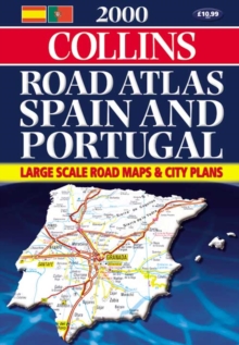
Image for 2000 Collins Road Atlas Spain and Portugal

2000 Collins Road Atlas Spain and Portugal

See all formats and editions

Scale 1:300 000 (1cm to 3km / 1 inch to 5 miles). New up-to-date large scale road atlas of Spain and Portugal including city centre plans and a comprehensive place-name index.

AREA OF COVERAGE All of the Iberian peninsula including the Balearic Islands, Madeira, the Azores and the Canary Islands.

MAIN FEATURES Up-to-date road mapping, town and city centre plans, comprehensive place-name index, route planning map and distance chart.

INCLUDES Fully classified road network, tourist information,ferries and railways. 41 pages of plans and through route maps of 59 cities and towns.

WHO THE PRODUCT IS AIMED AT Motorists planning a visit to Spain and Portugal or anyone planning a holiday either on the mainland or on the Spanish and Portuguese islands.

OTHER PRODUCTS IN THE SERIES Collins Road Atlas Europe Collins Road Atlas France Collins Road Atlas Italy Collins Road Atlas USA Canada and Mexico Collins Road Atlas Britain

Read More
Title Unavailable: Out of Print
Product Details
Collins
0004490495 / 9780004490496
Spiral bound
912.46
02/05/2000
England
English
328p.
29 cm
general Learn More