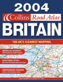
Image for 2004 Collins Road Atlas of Britain

2004 Collins Road Atlas of Britain (2004 ed)

See all formats and editions

This atlas features clear Collins mapping, which has been fully updated to show all the latest changes whilst continuing to exhibit clarity.

For 2004, six new urban area maps have been added.Features include: coverage of camping and caravan sites; park and ride locations shown for major cities and towns; motorway services guide with information on facilities; route planning maps and limited access junction information; full London planning and detail section; urban area maps at 1 inch to 1 mile; a comprehensive selection of town and city centre maps; a full index to place names and places of interest; a web-site guide to help you plan your journey; and coverage of Ireland at 25 miles to 1 inch.

Read More
Title Unavailable: Out of Print
Product Details
Collins
000715495X / 9780007154951
Spiral bound
912.41
04/08/2003
England
English
x, 166 p.
39 cm
general Learn More
Text on inside covers.