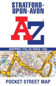
Image for Stratford-Upon-Avon A-Z Pocket Street Map

Stratford-Upon-Avon A-Z Pocket Street Map

See all formats and editions

Navigate your way around Stratford-upon-Avon with detailed street maps from A-Z This up-to-date, folded A-Z street map indexes more than 550 streets in and around Stratford-upon-Avon.

Coverage extends from Tiddington to Drayton, Lower Clopton to Clifford. The large scale street map includes the following: • Places of interest • One-way streets and car parks • Index to streets, places of interest, place and area names, park and ride sites, national rail stations, hospitals and hospices The perfect reference map for finding your way around Stratford-upon-Avon.

Read More
Available
£3.19 Save 20.00%
RRP £3.99
Add Line Customisation
157 in stock Need More ?
Add to List
Product Details
HarperCollins
0008657467 / 9780008657468
Sheet map, folded
25/04/2024
United Kingdom
2 pages
90 x 140 mm, 90 grams