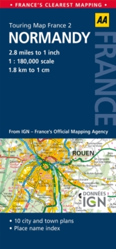
Image for 2. Normandy : AA Road Map France

2. Normandy : AA Road Map France (5 ed)

See all formats and editions

Produced in association with IGN - France's national mapping agency, this slimline, durable map has been fully updated, combining clear design and an easy-to-read scale with more road detail to ensure that you never lose your way.

The map also includes information on toll points, service areas, road numbers, motorways, dual carriageways and local roads.

National Parks, ski resorts, visitor attractions and towns of interest are also highlighted.

Read More
Title Unavailable: Out of Print

The title has been replaced.To check if this specific edition is still available please contact Customer Care +44(0)1482 384660 or schools.services@brownsbfs.co.uk, otherwise please click 9780749582098 to take you to the new version.

This title has been replaced View Replacement
Product Details
Automobile Association
0749575468 / 9780749575465
Sheet map, folded
912.442
01/01/2014
United Kingdom
Scale: 2.8 miles to 1 inch
118 x 252 mm
General (US: Trade) Learn More