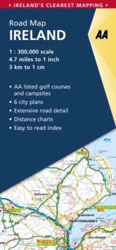
Image for AA Road Map Ireland

AA Road Map Ireland (7 Revised edition)

See all formats and editions

Created from brand new mapping data this folded sheet map shows the detailed road network with toll motorways and dual carriageways clearly identified.

As well as presenting an array of places of interest for tourists and locals alike, the mapping includes safety cameras with speed limits, motorway service areas and AA-inspected campsites and AA-listed golf courses.

New features include beaches, lighthouses, waterfalls, shopping centres and hospitals.Gaeltacht regions are highlighted with place names shown in both English and Irish.

The map includes 6 city plans of Dublin, Belfast, Cork, Derry Londonderry, Sligo and Waterford.

Additionally, a seperate map of Ireland features relief shading with key physical landmarks.

Read More
Title Unavailable: Out of Print

The title has been replaced.To check if this specific edition is still available please contact Customer Care +44(0)1482 384660 or schools.services@brownsbfs.co.uk, otherwise please click 9780749582319 to take you to the new version.

This title has been replaced View Replacement
Product Details
Automobile Association
0749578777 / 9780749578770
Sheet map, folded
912.415
23/02/2017
United Kingdom
1 pages
110 x 246 mm, 136 grams
General (US: Trade) Learn More