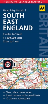
Image for South East England Road Map

South East England Road Map (5 Revised edition)

Part of the AA ROAD MAP BRITAIN series
See all formats and editions

Britain's clearest mapping from the experts at the AA, in a handy foldable road map covering South East England.

Fully updated, the map combines clear design and an easy-to-read scale of 3 miles to 1 inch, with more road detail to ensure you never lose your way while navigating Britain's roads.

The map includes information on toll points, service areas, road numbers, motorways, dual carriageways and wide and narrow local roads.

National parks and places of interest are also highlighted.

Read More
Title Unavailable: Out of Print

The title has been replaced.To check if this specific edition is still available please contact Customer Care +44(0)1482 384660 or schools.services@brownsbfs.co.uk, otherwise please click 9780749584085 to take you to the new version.

This title has been replaced View Replacement
Product Details
Automobile Association
0749577126 / 9780749577124
Sheet map, folded
912.422
01/07/2015
United Kingdom
General (US: Trade) Learn More