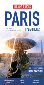
Image for Insight Guides Travel Map Paris

Insight Guides Travel Map Paris (4 Revised edition)

Part of the Insight Guides Travel Maps series
See all formats and editions

Travel Map Paris is an indexed, street map at 1:15 000.

There is also an overview map of the Paris area at 1:800 000 which shows the main routes into the city by road and rail.

In addition there is a Paris Environs Map at 1:200 000 and a detailed Metro plan. Places of interest, including tourist offices, castles and ruins, places of worship, museums, theatres, shopping centres, parks and gardens are highlighted.

The majority of roads are named and major roads are numbered. Handy distance indicators, located in the margin, give distances to the nearest town, major locations and motorway junction, if applicable. The extensive legend is shown in 8 languages.

Read More
Title Unavailable: Out of Print
Product Details
Insight Maps
1780054904 / 9781780054902
Sheet map
04/04/2013
United Kingdom
1 pages