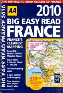
Image for Big Easy Read France

Big Easy Read France

Part of the AA Atlases and Maps series
See all formats and editions

Fully revised and updated for 2010, this specialist A3 road atlas designed for the British motorist in France includes 44 city, town and port plans and a new style central Paris city plan.

Coverage includes road mapping for Corsica, and there is a channel hopping guide, channel tunnel terminal and channel tunnel port plans.

The atlas is giant scale throughout, making it very easy-to-read and mapping is provided by the AA and the Institut Geographique National (IGN), the experts on roads in France.

Read More
Title Unavailable: Out of Print
Product Details
Automobile Association
0749563397 / 9780749563394
Spiral bound
912.44
30/11/2009
United Kingdom
English
1 atlas (256 p.) : all col. maps
40 cm
General (US: Trade) Learn More