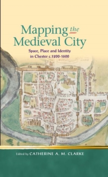
Image for Mapping the Medieval City : Space, Place and Identity in Chester c.1200-1600

Mapping the Medieval City : Space, Place and Identity in Chester c.1200-1600

Part of the Religion and culture in the Middle Ages series
See all formats and editions

This ground breaking volume brings together contributions from scholars across a range of disciplines (including literary studies, history, geography and archaeology) to investigate questions of space, place and identity in the medieval city.

Using Chester as a case study - with attention to its location on the border between England and Wales, its rich multilingual culture and surviving material fabric - the essays recover the experience and understanding of the urban space by individuals and groups within the medieval city, and offer new readings from the vantage-point of twenty-first century disciplinary and theoretical perspectives.

Read More
Special order line: only available to educational & business accounts. Sign In
£11.04 Save 15.00%
RRP £12.99
Product Details
University of Wales Press
0708326528 / 9780708326527
Paperback / softback
15/07/2013
United Kingdom
304 pages, No
138 x 216 mm, 340 grams