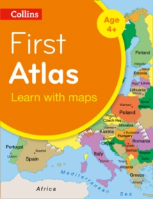
Image for Collins first atlas  : learn with maps

Collins first atlas : learn with maps (Second edition)

Part of the Collins Primary Atlases series
See all formats and editions

Bag the perfect KS1 Atlas this Back to School. Collins First Atlas is a fun, vibrant and clear starter atlas for 4-7 year olds which provides an introduction to basic geographical and atlas vocabulary. This first atlas introduces the younger pupil to photographs and mapping of a local area.

From this beginning the atlas gradually maps through regional, national, continental and world regions with global views of the wider world. Carefully selected map labels highlight certain countries or features which can be easily identified to illustrate the concept of mapping as it becomes more complex. All maps are supported with short informative sentences which use a basic geographical vocabulary.

Read More
Title Unavailable: Out of Print

The title has been replaced.To check if this specific edition is still available please contact Customer Care +44(0)1482 384660 or schools.services@brownsbfs.co.uk, otherwise please click 9780008485931 to take you to the new version.

This title has been replaced View Replacement
Product Details
Collins
0008101019 / 9780008101015
Paperback / softback
912
04/12/2014
United Kingdom
English
41 pages : illustrations (colour), chiefly maps (colour)
24 cm
Children / Juvenile Learn More
Published in Scotland.