Image for Encompassing Britain

Encompassing Britain (illustrated ed)

Collyer, PeterPurves, Libby(Foreword by)
See all formats and editions

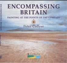
Taking the original compass card notation of 32 points calculated from the centre of Great Britain (two and a half miles South West of Clitheroe, Lancashire) Peter Collyer has produced a watercolour and commentary where each point dissects the coastline.

For instance NE by N gives us Seaham, six miles west of Sunderland and SW by S gives St George's Head, South of Pembroke.

This book is a vehicle for Peter Collyer's watercolours and text, all with the blessing of the National Trust.

Read More
Title Unavailable: Out of Print
Product Details
Thomas Reed Publications
1904050026 / 9781904050025
Hardback
759.2
30/09/2002
United Kingdom
192 pages, 32watercolours, line drawings
265 x 265 mm, 1000 grams
General (US: Trade) Learn More