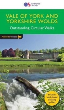
Image for Vale of York & the Yorkshire Wolds

Vale of York & the Yorkshire Wolds ([Revised edition])

Part of the Pathfinder guide series
See all formats and editions

Pathfinder® Guide to the East Riding of Yorkshire, covering the Vale of York and the Yorkshire Wolds between Ripon and Filey in the north of the region and between Tadcaster, the Humber and to Hornsea in the south of the region, featuring 28 outstanding circular rambles designed for a wide range of walking abilities; there's something for everyone.

There are coastal walks at Filey, Flamborough and Hornsea, and a Humber Estuary ramble between Hessle and North Ferriby; routes along the crest of the Wolds from Hunmanby to Thixendale to Welton; and riverside and canal walks taking in the Ure, Ouse, Wharfe and Derwent in the lowland vale south of the Howardian Hills, west of the Wolds and east of the Pennines.

Walks are professionally authored and depicted with GPS waypoints, Ordnance Survey maps and beautiful photography

Read More
Available
£10.39 Save 20.00%
RRP £12.99
Add Line Customisation
2 in stock Need More ?
Add to List
Product Details
Ordnance Survey/Crimson
0319090736 / 9780319090732
Paperback / softback
03/07/2017
United Kingdom
English
95 pages : illustrations (colour), maps (colour)
23 cm
At head of title: Ordnance Survey Previous edition: 2014.