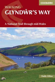
Image for Walking Glyndãwr's Way  : a National Trail through mid-Wales

Walking Glyndãwr's Way : a National Trail through mid-Wales (Third edition)

See all formats and editions

A guidebook to walking the 217km (135 mile) Glyndwr’s Way between Knighton and Welshpool via Machynlleth.

This long-distance National Trail is suitable for any reasonably fit walker and can be walked in nine days. The route is presented in nine stages between 18 and 29km (11-18) miles in length with the additional options of adding two Offa’s Dyke National Trail stages to form a circular trail and ascending Pumlumon Fawtr. 1:50,000 OS maps provided for each stageDetailed information on accommodation, facilities and public transport along the routeHighlights include Abbeycwmhir ruins, Llyn Clywedog, Dylife mines, Parliament House at Machynlleth, Dyfnant Forest, Llyn Efyrnwy, Ann Griffiths Walk, Powis CastlePronunciation guide and topographical glossary includedGPX files available to download

Read More
Available
£12.71 Save 25.00%
RRP £16.95
Add Line Customisation
21 in stock Need More ?
Add to List
Product Details
Cicerone Press
1786311291 / 9781786311290
Paperback / softback
16/02/2024
United Kingdom
English
176 pages : illustrations (colour), maps (colour)
18 cm
Previous edition: published as Walking Glyndãwr's Way. 2018.