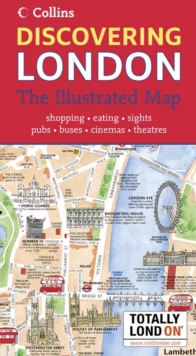
Image for Discovering London

Discovering London : The Illustrated Map (New ed)

See all formats and editions

London has a vast array of museums, galleries and other attractions.

This hand-watercoloured map contains individual paintings of all the main sites and landmarks, shop-by-shop street maps, theatres and cinemas, comprehensive travel information and index.

This attractive, fact-filled map includes: railway stations, bus routes, London underground map, taxi ranks and car parks.

It also contains shop-by-shop street maps for Oxford Street, Bond Street, Covent Garden, Portobello Road, King's Road, Brompton Cross, Exmouth Market, Beauchamp Place, Knightsbridge, Jermyn Street and Kensington.

It covers London's theatres and cinemas, places to eat, internet cafes and good places for a picnic.

It is an inset map of the city of London. It has a comprehensive index and historical and contemporary anecdotes.

Other titles in the series include: "Discovering Edinburgh" and "Discovering Dublin".

Read More
Title Unavailable: Out of Print

The title has been replaced.To check if this specific edition is still available please contact Customer Care +44(0)1482 384660 or schools.services@brownsbfs.co.uk, otherwise please click 9780007308781 to take you to the new version.

This title has been replaced View Replacement
Product Details
Collins
0007232942 / 9780007232949
Sheet map
912.421
05/03/2007
United Kingdom
With index
113 x 205 mm, 63 grams
General (US: Trade) Learn More