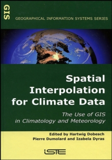
Image for Spatial Interpolation for Climate Data

Spatial Interpolation for Climate Data : The Use of GIS in Climatology and Meteorology

See all formats and editions

This title gives an authoritative look at the use of Geographical Information Systems (GIS) in climatology and meterology.

GIS provides a range of strategies, from traditional methods, such as those for hydromet database analysis and management, to new developing methods.

As such, this book will provide a useful reference tool in this important aspect of climatology and meterology study.

Read More
Special order line: only available to educational & business accounts. Sign In
£130.01 Save 15.00%
RRP £152.95
Product Details
1905209703 / 9781905209705
Hardback
09/05/2007
United Kingdom
302 pages
163 x 236 mm, 748 grams
Professional & Vocational Learn More