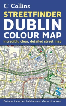
Image for Dublin Streetfinder Colour Map

Dublin Streetfinder Colour Map (New ed)

See all formats and editions

4 inches to 1 mile 1:15,840 approx. Full colour map of Dublin with street level detail and full index to street names.

The mapping is fully updated and is presented in a durable card cover.

MAIN FEATURES Fully updated street map for 2005 with clear, colour classified streets named and numbered plus places of interest, all fully colour coded for ease of use.

INCLUDES / Important buildings and places of interest / Car parks and railway stations / Full index to street names AREA OF COVERAGE From Ballymun and Baldoyle in the north to Dundrum in the south, includes Castleknock and Phoenix Park in the west to the coast in the east.

WHO THE PRODUCT IS OF INTEREST TO Residents, businesses and visitors will all find this map a useful purchase.

Read More
Title Unavailable: Out of Print

The title has been replaced.To check if this specific edition is still available please contact Customer Care +44(0)1482 384660 or schools.services@brownsbfs.co.uk, otherwise please click 9780007254620 to take you to the new version.

This title has been replaced View Replacement
Product Details
Collins
0007199988 / 9780007199983
Sheet map, folded
07/03/2005
United Kingdom
140 x 230 mm, 117 grams
General (US: Trade) Learn More