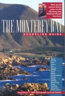
Image for The Monterey Bay Shoreline Guide

The Monterey Bay Shoreline Guide

Emory, JerryBalthis, Frank(By (photographer))
Part of the UC Press/Monterey Bay Aquarium Series in Marine Conservation series
See all formats and editions

This is an indispensable reference to one of the most spectacular stretches of California's coastline.

Beginning in the north with Point Ano Nuevo and ending some 120 miles to the south at Point Sur, Jerry Emory provides a comprehensive guide to the natural, cultural, and historical riches of the greater Monterey Bay shore.

Six regional maps provide detailed information for visitors exploring by car, bike, public transportation, or on foot.

Highlights of the area include the elephant seals of Ano Nuevo; surfing in Santa Cruz; the Monterey Bay National Marine Sanctuary, largest marine sanctuary in the U.S.; the world famous Monterey Bay Aquarium; and, the breathtaking coastal mountains of Big Sur.

The coast offers beautiful beaches and dunes, excellent tidepooling and birding, glimpses of sea otters, monarch butterflies, and gray whales on their migrating paths, redwood forests and agricultural landscapes, vineyards, parklands, literary landmarks, and towns and cities to explore.

Monterey Bay's human history is equally captivating and includes coastal Indians, Spanish missionaries, and Mexican rancheros. Richly illustrated with 181 color photos, "The Monterey Bay Shoreline Guide" has helpful 'Getting Around' sections providing public access directions and mileage and 'Information' sections with useful phone numbers and website addresses.

Read More
Special order line: only available to educational & business accounts. Sign In
£18.40 Save 20.00%
RRP £23.00
Product Details
0520217128 / 9780520217126
Paperback / softback
06/04/1999
United States
318 pages, 181 color illustrations, 39 b-w photographs, 8 line illustrations, 6 maps
152 x 229 mm, 726 grams