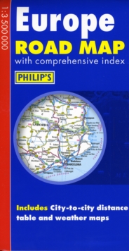
Image for Philip's Europe Road Map

Philip's Europe Road Map (Revised ed)

Part of the Philip's Road Maps series
See all formats and editions

"Philip's Europe Road Map" shows the whole of Europe at a standard scale of 1:3.5M (1 cm on the map = 35 km on the ground).

The map includes a comprehensive index, city-to-city distance table, and summer/winter weather maps.

The double-sided map has been specially prepared for long-distance travel, picking out major routes and destinations in bold colours for easy journey planning and route-finding, and is a convenient size for use in a vehicle.

The digital mapping gives excellent clarity, showing road networks in exceptional detail for this scale.

A comprehensive index includes all towns and villages shown on the map.

Read More
Title Unavailable: Out of Print

The title has been replaced.To check if this specific edition is still available please contact Customer Care +44(0)1482 384660 or schools.services@brownsbfs.co.uk, otherwise please click 9781849071505 to take you to the new version.

This title has been replaced View Replacement
Product Details
Philip's
0540093262 / 9780540093267
Hardback
912.4
14/01/2008
United Kingdom
2 pages
130 x 250 mm, 106 grams
General (US: Trade) Learn More