Image for South East & Central England Road Map

South East & Central England Road Map (34 Revised edition)

Part of the A-Z Road Map series
See all formats and editions

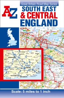
This A-Z map of South East & Central England is a single-sided road map featuring continuous mapping from Nottingham to the south coast, including the Isle of Wight, and from Cardiff to the east coast. Instantly recognizable and easy to use, A-Z road mapping includes the following features: clear standard road classification colours for easy identification, full motorway junction detail, under construction and proposed roads, primary route destinations, service areas, hill shading sourced from Geo-Innovations© www.geoinnovations.co.uk, national and county boundaries, National Park boundaries, a wide range of tourist and ancillary information, including Blue Flag beaches.

An index booklet is attached to the cover and listing cities, towns, villages, hamlets and locations featured on the map.

Read More
Title Unavailable: Out of Print
Product Details
Geographers' A-Z Map Co Ltd
1782570268 / 9781782570264
Sheet map, folded
912.42
26/02/2016
United Kingdom
1 pages
154 x 240 mm, 156 grams