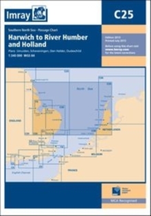
Image for Imray Chart C25 : Harwich to River Humber and Holland

Imray Chart C25 : Harwich to River Humber and Holland

See all formats and editions

Plans included: Oudeschild (1:15,000) Den Helder (1:21,000) IJmuiden (1:35,000) Scheveningen (1:10,000) The 2013 edition of this chart shows full details of the new and improved routeing measures off the coast of the Netherlands, as implemented on 1st August 2013.

Read More
Title Unavailable: Out of Print

The title has been replaced.To check if this specific edition is still available please contact Customer Care +44(0)1482 384660 or schools.services@brownsbfs.co.uk, otherwise please click 9781786794635 to take you to the new version.

This title has been replaced View Replacement
Product Details
1846235634 / 9781846235634
Sheet map, folded
01/08/2013
United Kingdom
1 pages
195 x 295 mm
General (US: Trade) Learn More