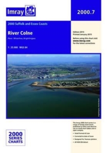
Image for Imray Chart 2000.7

Imray Chart 2000.7 : River Colne

See all formats and editions

Plans included: Wivenhoe Brightlingsea This chart can also be purchased as part of the 2000 Suffolk and Essex Chart Pack (10 Charts). 2011 EDITION - Shows revised buoyage in Mersea Quarters and the approaches to Tollesbury, plus detail of Waterside Marina at Brightlingsea.

The latest available survey data is used throughout, particularly in the Tollesbury channel and at Bradwell.

Read More
Title Unavailable: Out of Print
Product Details
1846236711 / 9781846236716
Sheet map, folded
01/02/2015
United Kingdom
1 pages
210 x 295 mm
General (US: Trade) Learn More