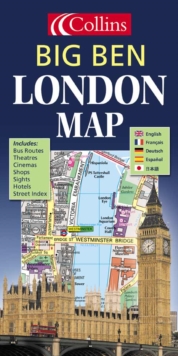
Image for London Big Ben Map

London Big Ben Map (Rev. ed)

See all formats and editions

This colourful map should be ideal for visitors and tourists to London.

Shops and other places of interest are clearly shown and named, as are bus routes and underground stations, which are colour-coded on the map face to identify the relevant tube line.

The key to map symbols is shown in English, French and German and there are indexes to street names, major hotels, cinemas, hospitals, tourist information centres and much more.The area of coverage stretches from Camden Town in the north to Battersea Park in the south and from Kensington in the west to the Tower of London in the east.

Read More
Title Unavailable: Out of Print
Product Details
Collins
0007150008 / 9780007150007
Sheet map, folded
912.421
07/04/2003
England
English
on sheet folded to 20 x 11 cm
general Learn More