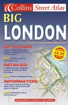
Image for London Street Atlas Large

London Street Atlas Large (Rev. ed)

See all formats and editions

Central area - 7.68 inches to 1 mile (1:8,250) Outer area - 3.84 inches to 1 mile (1:16,500) Large scale, full colour, street level mapping from the Bartholomew digital database, with handy 'lie flat' spiral binding.MAIN FEATURES* Central London at extra large scale of 7.68 inches to 1 mile* Extensive area of coverage* Extremely clear, attractive mappingINCLUDES* Full indexes to streets, place names and places of interest* Theatres & Cinemas plus shopping maps* Classified roads and colour coded land useAREA OF COVERAGECoverage stretches from Enfield in the north to Croydon in the south and from Heathrow in the west to Dagenham in the east.WHO THE PRODUCT IS AIMED ATThe wealth of detail and handy spiral binding make this an essential purchase for businesses and residents.

Read More
Title Unavailable: Out of Print
Product Details
Collins
0007128126 / 9780007128129
Spiral bound
912.421
04/06/2001
England
English
376p.
24 cm
general Learn More
Originally published: 1999.