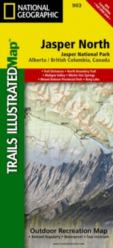
Image for Jasper North : Trails Illustrated National Parks

Jasper North : Trails Illustrated National Parks (2020th ed.)

See all formats and editions

The front side of Jasper North map details the east side of the national park, from Rock Lake Solomon Creek Wildland Park to the north, to Whistler's Summit to the south.

The reverse side of the map details the west side of the park, extending from Mt.

Terry Fox Provincial Park to the south, to Willmore Wilderness Park to the North.

Insets show survival tips, safe travel in Bear Country, and what to do while visiting.

A necessity for exploring in the outdoors, this map is printed on waterproof, tear-resistant material.

Read More
Available
£11.96 Save 20.00%
RRP £14.95
Add Line Customisation
3 in stock Need More ?
Add to List
Product Details
National Geographic Maps
1566956617 / 9781566956611
Sheet map, folded
02/08/2012
United States
1 pages
108 x 235 mm, 92 grams
General (US: Trade) Learn More