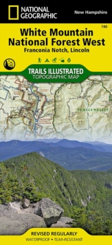
Image for White Mountains National Forest, West

White Mountains National Forest, West : Trails Illustrated Other Rec. Areas (2020th ed.)

See all formats and editions

National Geographic's Trails Illustrated Maps are the most detailed and up-to-date topographic recreation maps available for US National Parks, National Forests and other popular outdoor recreation areas.

A necessity for exploring the outdoors, each map is printed on waterproof, tear-resistant material.

They also contain key safety and contact information, GPS and compass coordinates, Leave No Trace ethical guidelines and hundreds of points-of-interest, including scenic viewpoints, campgrounds, boat launches, swimming areas, marine sanctuaries and wildlife refuges.

Read More
Title Unavailable: Out of Print
Product Details
National Geographic Maps
1566954657 / 9781566954655
Sheet map, folded
02/08/2012
United States
1 pages
108 x 235 mm, 94 grams
General (US: Trade) Learn More