Image for Northern England

Northern England (6 Rev ed)

Part of the Collins Great Britain & Ireland Road Map S. series
See all formats and editions

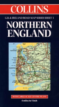
1:250,000 4 miles to 1 inch The northern sheet of a 6 sheet map series of the British Isles.

The map has a wealth of detail and attractive layer colouring to show land height. MAIN FEATURES * New Collins mapping with hillshading * Extremely attractive and easy to read mapping * All roads colour classified * Includes town centre maps of Bradford, Leeds, Liverpool, Manchester, Sheffield INCLUDES * Places of tourist information included * Ferry routes & airports shown * Distances shown on roads * Full index to place names AREA OF COVERAGE Covers an area from the Isle of Man in the west across to the east coast and from the Scottish borders in the north to Birmingham in the south. WHO THE PRODUCT IS AIMED AT This map is ideal for wall mounting or for use in the vehicle and is suitable for both business or pleasure motoring. OTHER PRODUCTS IN THE SERIES This map is part of a 6 sheet series covering the whole of Britain & Ireland.

The other maps in the series are: * Sheet 1. Southern England -- 0 00 448819 9 * Sheet 2. South West England & Wales -- 0 00 448820 2 * Sheet 4.

Central & Southern Scotland -- 0 00 448822 9 * Sheet 5.

Northern Scotland -- 0 00 448823 7 * Sheet 6. Ireland -- 0 00 448824 5

Read More
Title Unavailable: Out of Print
Product Details
Collins
0004488210 / 9780004488219
Sheet map
912.427
01/01/1999
United Kingdom
147 x 258 mm
General (US: Trade) Learn More