Image for Philip's Pocket London

Philip's Pocket London (Rev ed)

Part of the Philip's City Street Maps series
See all formats and editions

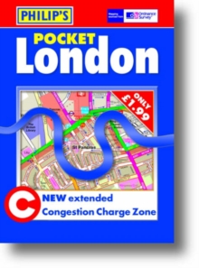
"Philip's Pocket London" shows central London at a scale of over 6 inches to 1 mile (1:10 000).

The area covered is from Hyde Park in the west to the Tower of London in the east.

Invaluable for pedestrians and visitors to London, the map shows all rail and tube stations, and tourist sights are marked both on the map and in the index.

Theatres, cinemas, museums, galleries and all major visitor attractions are clearly indicated.

For drivers, the Congestion Charging Zone is highlighted on the map, making clear the entry and exit points.

The map also gives details of the hours of operation plus when, where and how to pay.Speed-camera sites are also marked.

Route-finding is easy as through-routes are highlighted, giving the user the equivalent of local knowledge of an area - a real time-saver when trying to avoid main road queues.

One-way streets and restricted turns are also shown.

The map shows many more streets, courts, alleys, houses and estates than any equivalent map.

Postcode districts and boundaries are clearly marked.

The index of streets and notable features is fully comprehensive and easy to read. Hospitals, railway stations, schools, shopping centres, universities, industrial estates and other such features are highlighted in red; places of tourist interest are shown in blue.

Read More
Title Unavailable: Out of Print
Product Details
Philip's
0540090557 / 9780540090556
Sheet map, folded
912.421
24/03/2007
United Kingdom
2 pages
756 x 604 mm
General (US: Trade) Learn More