Image for Philip's Red Books Isle of Man

Philip's Red Books Isle of Man

See all formats and editions

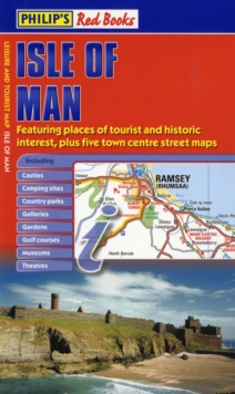
This leisure and tourist map of the Isle of Man gives detailed coverage of the island's road network at a scale of approximately 1.2 miles to 1 inch.

It also includes town centre street maps for Castletown, Douglas, Peel, Port Erin and Port St Mary, and Ramsey.The map shows places of tourist and historic interest, including castles, camping sites, country parks, galleries, gardens, golf courses, marinas, museums, nature trails, historic sites, sports venues, theatres, theme parks, wildlife parks and zoos.

An index to principal places of interest (including TT course vantage points) is also featured.In a convenient folded format, this single-sided sheet map is ideally suited for both leisure and business use, whether by locals or visitors.

Read More
Title Unavailable: Out of Print

The title has been replaced.To check if this specific edition is still available please contact Customer Care +44(0)1482 384660 or schools.services@brownsbfs.co.uk, otherwise please click 9781849072199 to take you to the new version.

This title has been replaced View Replacement
Product Details
Philip's
0540094161 / 9780540094165
Hardback
24/04/2008
United Kingdom
1 pages
141 x 241 mm, 76 grams
General (US: Trade) Learn More