Image for Philip's easyread Britain

Philip's easyread Britain (New ed)

Part of the Road Atlases series
See all formats and editions

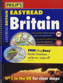
In this work, the 288 pages of main road mapping are at the super-clear scale of 2 1/3 miles to 1 inch (Scottish Highlands and Islands at 4 3/4 miles to 1 inch).

The maps mark roundabouts and multi-level junctions clearly, and in rural areas distinguish between roads over and under 4 metres wide - a boon for caravanners and drivers of wide vehicles.

The atlas also includes route-planning maps, an M25 map, full listings of mobile speed-camera locations, 12 large-scale city approach maps, and 35 extra-detailed town and city plans.

The index is in larger print than normal and is ultra-legible."Philip's EasyRead Britain" is the best large-scale atlas on the market for leisure driving, with a huge amount of detail on places to visit.

National and Forest Parks and Areas of Outstanding Natural Beauty are clearly depicted, and the layer-coloured contours show upland and highland areas.

Long-distance footpaths, viewpoints, beaches, golf courses, campsites and caravan sites are all marked on the maps.

Numerous additional features include restricted motorway junction information, a distances chart (including estimated journey times), and a central London street plan.

Read More
Title Unavailable: Out of Print
Product Details
Philip's
0540093114 / 9780540093113
Spiral bound
912.41
25/08/2008
United Kingdom
English
392 p.
30 cm
General (US: Trade) Learn More
Previous ed.: 2007.