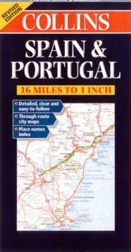
Image for Road Map Spain and Portugal

Road Map Spain and Portugal

See all formats and editions

Revised edition featuring digital mapping from the Bartholomew European Database.

Scale 1 : 1 000 000 (1cm to10 kms / 1 inch to 16 miles).MAIN FEATURESFully classified road network with road numbers motorway services, road distances, and ferry routes.

Attractive hillshading to indicate relief. Through route town plans.INCLUDESThrough route maps of Barcelona, Madrid, Seville, Valencia and Lisbon.

Index to place names on reverse of the sheet.AREA OF COVERAGEAll of Spain and Portugal from the Pyrenees to the Straits of Gibraltar and including the Balearic Islands.WHO THE PRODUCT IS AIMED ATTourist, motorist and anyone planning to travel in Spain or Portugal.OTHER PRODUCTS IN THE SERIESFranceItalyGermany, Austria & SwitzerlandGreeceSouthern Scandinavia

Read More
Title Unavailable: Out of Print
Product Details
Collins
0004490320 / 9780004490328
Sheet map, folded
04/01/2000
1210 x 1000 mm, 134 grams