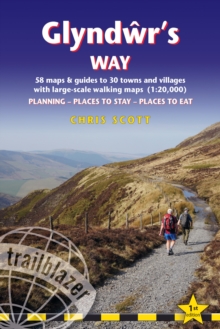
Image for Glyndãwr's Way  : Knighton to Welshpool: 58 maps and guides to 30 towns and villages

Glyndãwr's Way : Knighton to Welshpool: 58 maps and guides to 30 towns and villages

Part of the Trailblazer British Walking Guides series
See all formats and editions

All the information you need to enjoy your hiking adventure along Glyndwr's Way.

Brand new title in the Trailblazer British Walking Guide series covering the 135-mile National Trail in Wales.

Follow in the footsteps of Owain Glyndwr, the Welsh prince who led a rebellion against the English in 1400.

Traversing a range of open farmland and forest, it links with another National Trail, Offa's Dyke Path, at its start in Knighton and end in Welshpool.

The guide includes:58 large-scale walking maps - at just under 1:20,000 - showing route times, places to stay, places to eat, points of interest, and 10 town plansPlaces to stay with reviews - campsites, bunkhouses, hostels, B&Bs, pubs and hotelsPlaces to eat with reviews - cafes, teashops, pubs, takeaways, restaurantsWhat to see from the path - history, culture, natural historyComprehensive public transport information - for all access points on the pathFlora and fauna - four page full colour flower guide, plus an illustrated section on local wildlifeItineraries for all walkers - whether walking the route in its entirety over two weeks or sampling the highlights on day walks and short breaksGreen hiking - understanding the local environment and minimizing our impact on itGPS waypoints - also downloadable from the Trailblazer website page

Read More
Available
£11.24 Save 25.00%
RRP £14.99
Add Line Customisation
10 in stock Need More ?
Add to List
Product Details
Trailblazer Publications
1912716321 / 9781912716326
Paperback / softback
14/02/2024
United Kingdom
English
268 pages : illustrations, maps
18 cm