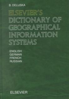
Image for Elsevier's dictionary of geographical information systems  : in English, German, French and Russian

Elsevier's dictionary of geographical information systems : in English, German, French and Russian

See all formats and editions

"Elsevier's Dictionary of Geographical Information Systems" contains 4,040 terms with about 1,700 cross-references that are commonly used in the theory and practice of geographical information systems.

The terms were selected according to their significance or frequency of use.

The terminology covers the areas of geoinformatics, geostatistics, computer cartography, geospatial databases, computer graphics, geodesy, photogrammetry, remote sensing, hardware and software for introduction, processing and visualization of geospatial data, etc.

Geographical information systems are modern, widely distributed and strategic tools in many human activities (land survey and regulation, ecology, forestry, agronomy, demography, hydrology, urban planning, transport, etc.). "Elsevier's Dictionary of Geographical Information Systems" will be a valuable tool for specialists, scientists and students and for everyone who is interested in this area.

Read More
Available
£112.00 Save 20.00%
RRP £140.00
Add Line Customisation
Usually dispatched within 4 weeks
Add to List
Product Details
North-Holland
0444509917 / 9780444509918
Hardback
910.285
26/06/2002
United States
English
research & professional Learn More