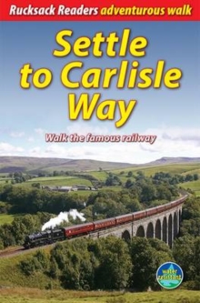
Image for Settle to Carlisle Way

Settle to Carlisle Way : Walk the famous railway

See all formats and editions

The Settle to Carlisle Way is a newly developed route that runs from station to station, mostly within sight of the famous railway.

It goes for 97 miles (156 km) northward from Settle, soon enjoying great views of the Three Peaks as it progresses through the Yorkshire Dales National Park, past the Ribblehead Viaduct and over Blea Moor tunnel.

Entering Cumbria via lonely Mallerstang, the Way passes beneath Wild Boar Fell and descends gently through the delightful valley of the River Eden.

Here it passes Long Meg and her Daughters stone circle and moves on to Armathwaite, ending in the historic border city of Carlisle.

This guidebook contains all you need to plan and enjoy your Settle to Carlisle Way walk: detailed route descriptions background on the railway, geology and scenery wildlife information supported by superb photographs Foreword by the eminent W R Mitchell map of the entire route in 5 drop-down panels (1:115,000) information about public transport and travel lavishly illustrated, with 75 colour photographs on water-resistant paper.

Read More
Title Unavailable: Out of Print
Product Details
Rucksack Readers
1898481563 / 9781898481560
Spiral bound
914.27
23/11/2012
United Kingdom
64 pages, 85 Halftones, color
145 x 220 mm, 214 grams
General (US: Trade) Learn More