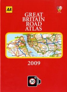
Image for AA Great Britain Road Atlas

AA Great Britain Road Atlas

Part of the AA Atlases and Maps series
See all formats and editions

The best-selling "AA Great Britain Road Atlas 2009" provides mapping in a handy A4 sized format.

Static speed camera locations with speed limits are pinpointed and wide minor roads, National Trust, English and World Heritage sites are shown, along with mobile camera sites.

Each page is titled with its geographical location so you can turn to the page you need more easily. 100 city, town and port plans are provided, plus fully indexed Central London street maps.

A comprehensive 31,500 index with airports, top tourist sites and motorway services listings, plus a full-colour county, unitary and administrative area map are also included.

The paper in this atlas is produced from environmentally sustainable sources.

Read More
Title Unavailable: Out of Print

The title has been replaced.To check if this specific edition is still available please contact Customer Care +44(0)1482 384660 or schools.services@brownsbfs.co.uk, otherwise please click 9780749573508 to take you to the new version.

This title has been replaced View Replacement
Product Details
Automobile Association
0749556862 / 9780749556860
Hardback
912.41
01/07/2008
United Kingdom
English
306 p. : col. ill.
31 cm
General (US: Trade) Learn More
Maps on lining papers.