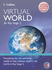
Image for Virtual World

Virtual World

See all formats and editions

This Network Licence grants the owner permission to use "Virtual World CD-ROM" throughout their school.

Purchase of the Network Licence must accompany purchase of the single CD-ROM.

No CD-ROM is provided with the Network Licence. "Virtual World" focuses on five core zones: Reference mapping - a locational tool; Mapping skills - understanding maps; Map Kit - creating atlas maps; Data - world facts and figures which support the mapping; and, Fun activities - games, quizzes and activities which help to test geographical knowledge. "Virtual World" helps children to understand, create and enjoy maps and atlases.

Suggested lesson plans included in the package ensure that non-specialists can be confident delivering mapping skills and atlas reading lessons.

A full range of activities and an extensive bank of statistics, images, flags and graphs enable specialists and non-specialists alike to deliver the concepts of distance, scale, projections, direction, reference mapping, special-topic mapping etc. in an innovative and exciting way. Every zone of the package is easy to use and it is possible to toggle from one zone to another e.g. to pull any relevant information in from the Data Zone to support study in the other zones. It can be used in conjunction with paper atlases or stand alone.

The wide range of activities included in the package make it suitable for cross-curricular use, e.g. word and number games are a fun way to improve numeracy and literacy skills.

Read More
Title Unavailable: Out of Print
Product Details
Collins
0007781938 / 9780007781935
Other digital
02/04/2007
United Kingdom
28 grams
Primary & Secondary Education (US: Elementary & High School) Learn More