Image for North American maps for curious minds  : 100 new ways to see the continent

North American maps for curious minds : 100 new ways to see the continent

See all formats and editions

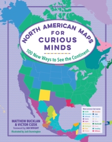
These 100 full-colour infographic maps - from purely geographical to highly political - reveal remarkable new ways to understand the culture and history of North America. Did you know that if “Did Not Vote” had been a candidate in the 2016 US election, it would’ve won all but nine states?

From where in the contiguous states can you head south into Canada, or north into Mexico?

Which states have had the most female governors? Learn the answers to these questions and more in North American Maps for Curious Minds - a one-of-a-kind atlas packed with eye-opening maps for the geographically curious and travel obsessed. Featuring surprising facts (What are the highest-paid public employees in each state?

Hint: Most are football coaches), whimsical data (Which US latitudes are home to the most Waffle Houses?), and insightful connections (Who knew the Midwest self-identifies as the most extroverted region of the country?), this book illuminates the unexpected contours of geography, history, politics, and many more fascinating facets of the continent and culture.

Each of these 100 graphics will change the way you see North America - and your place on the map.

Read More
Available
£11.99 Save 25.00%
RRP £15.99
Add Line Customisation
Usually dispatched within 4 weeks
Add to List
Product Details
The Experiment LLC
1615197486 / 9781615197484
Hardback
912.7
11/05/2021
United States
English
128 pages : illustrations (colour), maps (colour)
23 cm